4D Geographic Information System
Mission
 |
Research Activities
- Conduct research and studies that are aiming at achieving the goals of 4D GIS system at local and regional scale in Vietnam, targeted at several specific applications (air pollution, disaster monitoring, smart city,… ).
- Conduct research and methods for automatic on 3D primitives extraction (footprints, height, …) for 3D object reconstruction.
Partners
|
Institute of Space and Earth Information Science, The Chinese University of Hong Kong |
 The Open Geospatial Consortium |
 University of Technology Sydney |
Selected Publications
- Phan Anh, Man Duc Chuc, Bui Quang Hung, Nguyen Thi Nhat Thanh, 2017, “Development of virtual campus using GIS data and 3D GIS technology: A case study for Vietnam National University, Hanoi”, 2017 9th International Conference on Knowledge and Systems Engineering (KSE), số trang 281 – 286.
- Phan Anh, Chu Thua Vu, Bui Quang Hung, Nguyen Thi Nhat Thanh, Nguyen Viet Ha, 2018, “Preliminary Result of 3D City Modelling for Hanoi, Vietnam”, The 5th NAFOSTED Conference on Information and Computer Science (NICS), số trang 294 – 299.
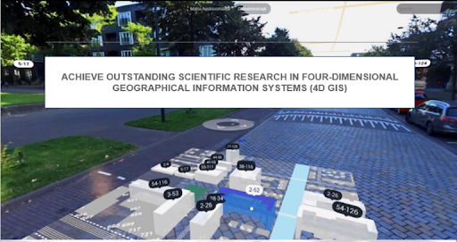
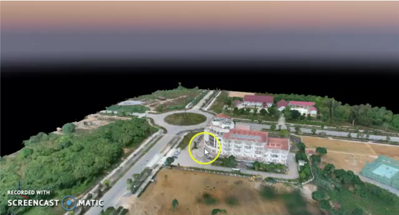
4D Geographic information system for Vietnam National University campus.
 |
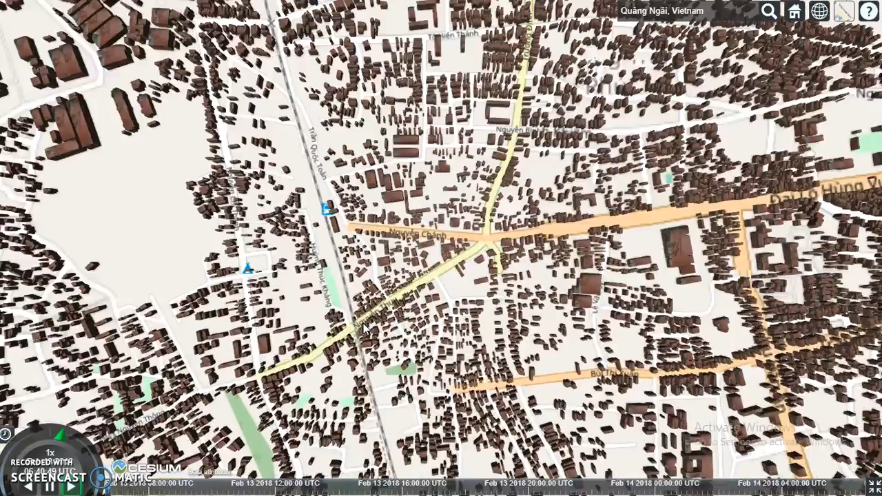
4D GIS – Quang Ngai City
 |
4D GIS – VNU Hoa Lac Campus
 |