4D Geographic Information System
Mission: “Achieve outstanding scientific research in Four-dimensional Geographical Information Systems (4D GIS)”
Research Activities
- Conduct research and studies that are aiming at achieving the goals of 4D GIS system at local and regional scale in Vietnam, targeted at several specific applications (air pollution, disaster monitoring, smart city,… ).
- Conduct research and methods for automatic on 3D primitives extraction (footprints, height, …) for 3D object reconstruction.
Our Products
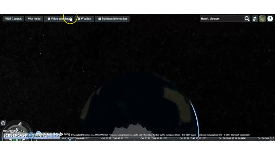
4D Geographic information system for Vietnam National University campus
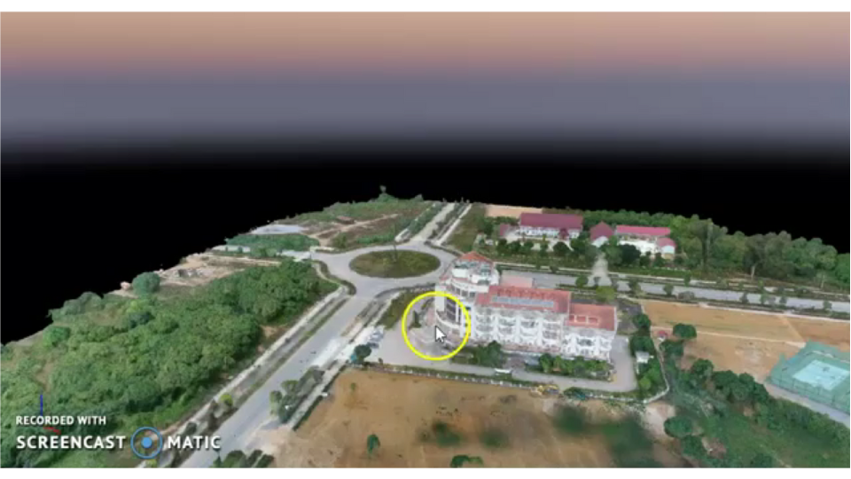
4D GIS – VNU Hoa Lac Campus
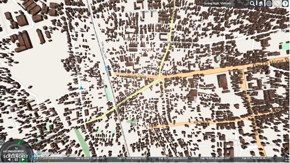
4D GIS – Quang Ngai City
Partners