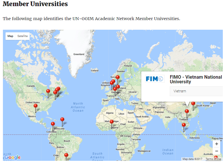
On 14th July 2017, FIMO officially becomes a member of United Nations Global Geospatial Information Management Academic Network http://unggim.academicnetwork.org/ . This network is a formal body constituted as part of the United Nations Global Geospatial Information Management (UN-GGIM). The Academic Network is the strategic knowledge, research and training arm of it.
This network is a formal body constituted as part of the United Nations Global Geospatial Information Management (UN-GGIM). The Academic Network is the strategic knowledge, research and training arm of it.
Functions of the network are:
- Provide academic counsel and guidance to UN-GGIM concerning strategic knowledge, research, education and training and to serve as a strategic academic arm for UN-GGIM and its related organizations and affiliated members in achieving their visions and goals.
- Provide a forum for coordination and dialogue among academics and researchers from the geospatial information management community with a view to advance activities related to the administration, management, and use of geospatial information, and to identify and respond to challenges and opportunities in which UN-GGIM and related members can achieve their visions.
- Provide a platform that the needs of member countries for geospatial information data, technology, training and education, and the information of the capacities of academic network members are shared, so that geospatial data, technology, training and education can be widely used through this platform.
- To advise and support geospatial information and land administration training and capacity building programs of the UN-GGIM.
- To offer advice in response to UN-GGIM questions, identify and inform UN-GGIM concerning academic knowledge gaps or problems that may exist or arise, and propose initiatives as appropriate to address such questions and challenges.
- Bring to the attention of UN-GGIM and its regional organizations state-of-the-art research and academic trends on global geospatial information, or write white papers on any of related topics, and also offer training/ education in those fields.
- Create a communication platform for member countries to bring to the attention of the Academic Network key problems and areas of research that are of high interest to local, national and regional organizations.
- Address governance, data management, institutional, technology adoption and sustainability issues related to the management of geospatial information.
- Undertake work that is able to contribute to the Sustainable Development Goals of the UN and other areas as appropriate including, access to land, property rights, ownership, land degradation, rapid urbanization, and climate change, in coordination with other expert entities.
- Undertake activities that foster collaboration between universities and research groups at an international level, including to identify and address common research topics and overarching trends;
- Promote and encourage close collaboration between Universities and their national geospatial counterparts.
- Encourage the development and sharing of geospatial analytics.

