About FIMO
FIMO is an international research center established in 2013. It is a member of the Vietnam National University of Engineering and Technology.
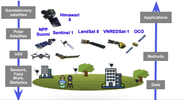
Mission: Applying Geospatial Artificial Intelligence to Field Monitoring (FIMO)
Vision: Become of leading Center of Excellence (CoE) to attract international experts in the field of Geospatial Intelligence toward Smart Sustainable Cities.
FIMO Is Member Of:
Open Geospatial Consortium
The Open Geospatial Consortium, an international voluntary consensus standards organization for geospatial content and location-based services, sensor web and Internet of Things, GIS data processing and data sharing.
United Nation – Global Geospatial Information Management Academic Network
The UN-GGIM Academic Network is a coalition of recognized universities and research and education centers involved in research, development and education.
GSDI – Global Spatial Data Infrastructure Association
The Global Spatial Data Infrastructure (GSDI) Association was formed in 2004 as an inclusive networking organization of academic and research institutions, government agencies, commercial geomatics firms, national and regional GI associations and individuals (geo professionals and students) from around the world.
Research and Development Activities and Infrastructure
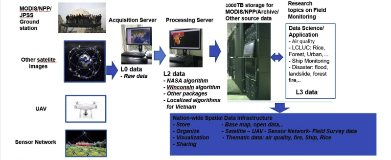
1. Building a Nation-wide Spatial Data Infrastructure and Development of Field Monitoring Tools
2. FIMO Computation Infrastructure
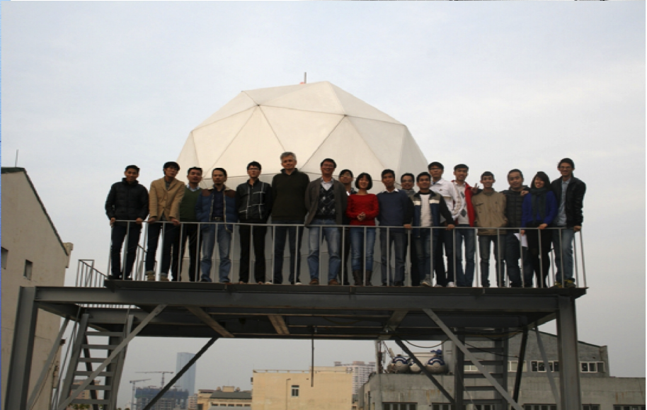
3. MODIS/NPP/JPSS ground station at FIMO
The Interdisciplinary Integrated Technology Center (FIMO) has successfully implemented the installation, technology transfer, and operation of a data collection station for images from three types of Earth observation satellites from the National Aeronautics and Space Administration (NASA) and the National Oceanic and Atmospheric Administration (NOAA). read more …


