Compared to mid- and high-latitude areas, the tropical and subtropical region, due to its special climate, presents an all-year-round cloudy and rainy climate feature with a very long rainy season and rich precipitation even in short-term dry season. Besides, natural disasters, such as typhoon, earthquake, tsunami and flood, occur frequently in this region because of its special meteorological environment. Therefore, simple use of optical remote sensing will be greatly limited in tropical and subtropical region. Multi-source remote sensing techniques, e.g. synthetic aperture radar (SAR), with their ability to work in all day and all weather conditions, have distinctive advantages in this region. Unfortunately, most countries located in the tropical and subtropical region are developing countries, who are constrained by limited capability of remote sensing technologies. Therefore, there is an urgent need to establish a comprehensive platform for discussion and promotion of advanced remote sensing applications in this region.
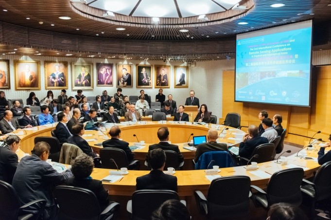
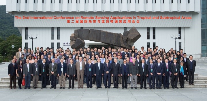
The 2nd International Conference on Remote Sensing Applications in Tropical and Subtropical Areas was held by Institute of Space and Earth Information Science, The Chinese University of Hong Kong from 8-10 December 2015. The main topics of the conference are Urban Environment, Tropical Rainforest, Atmosphere, Land Use/Land Cover Change, Oceanography, Natural Disasters, Clouds Handling, Coastal Environment. FIMO held the Special Vietnam Session in this conference. This session includes the following presentations:
- Field Informatics: Application of ICT to Environment Management and Disaster Mitigation
- Paddy rice extraction by using temporal satellite image and similarity index
- Comparison of several widely-used classifiers for land-cover using Landsat-8 images in Red Delta River: a case study in Tien Hai district, Thai Binh province, Vietnam
- Air pollution mapping from high spatial resolution satellite images: a case study in Hanoi
- Object based image analysis for mapping land-cover in Hue city for World culture heritage conservation
The following pictures are snapshots from the conference.
For futher information, please see at the URL:
http://www.iseis.cuhk.edu.hk/rsatsa/Introduction.html